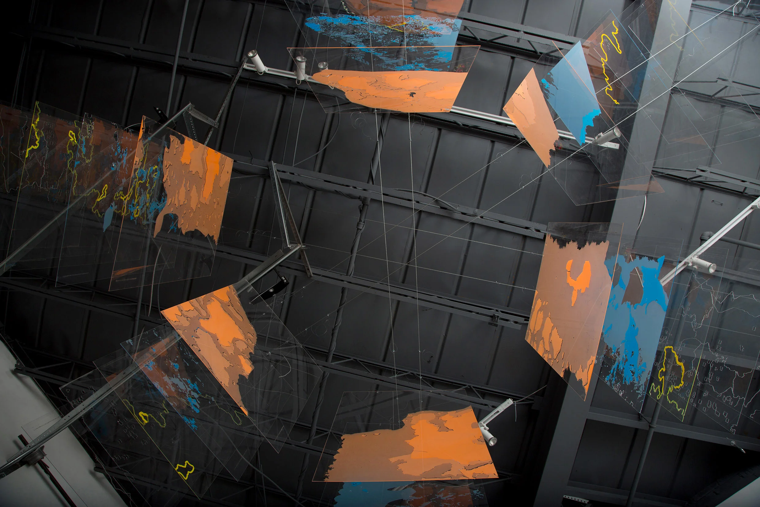
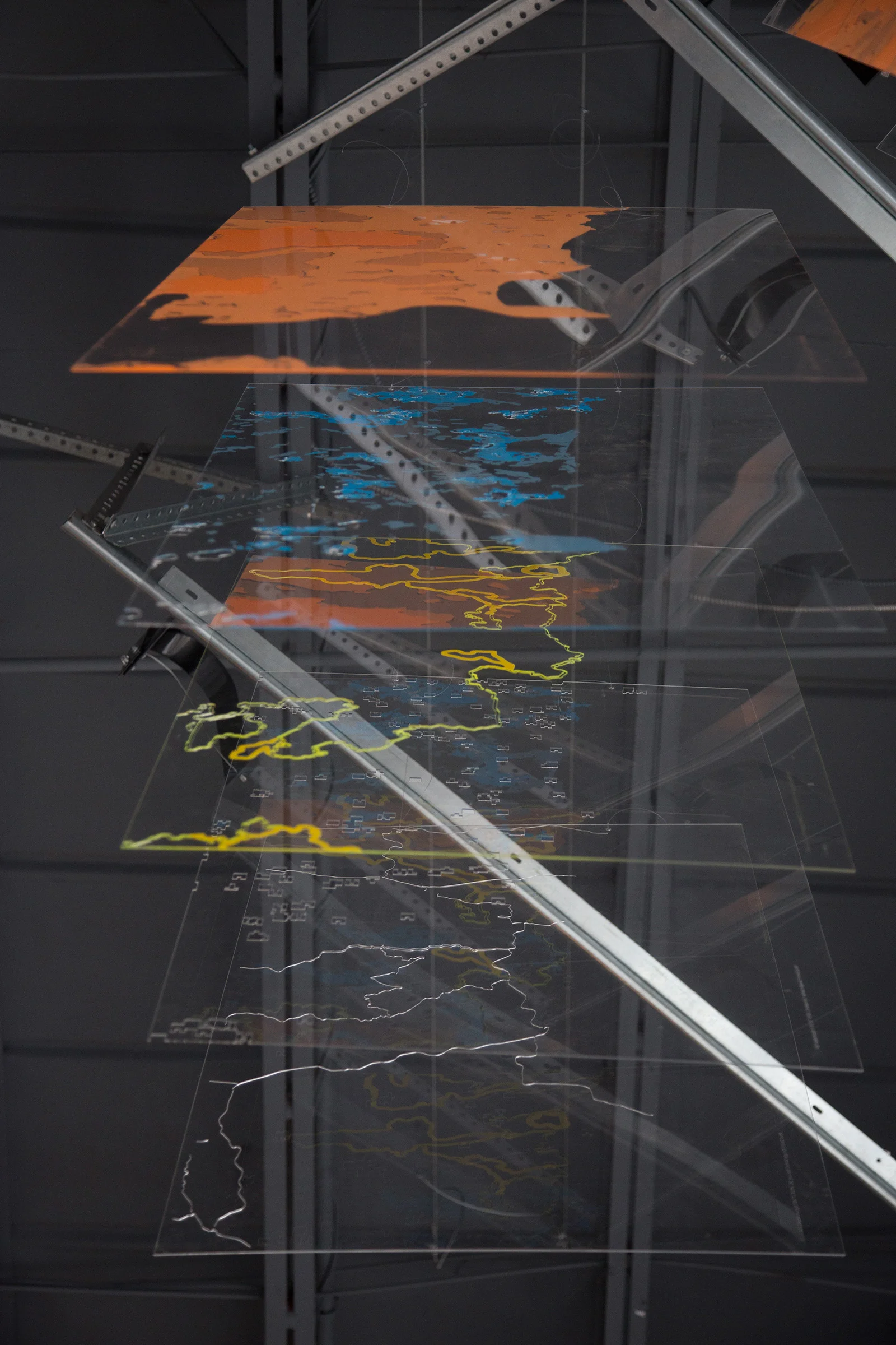
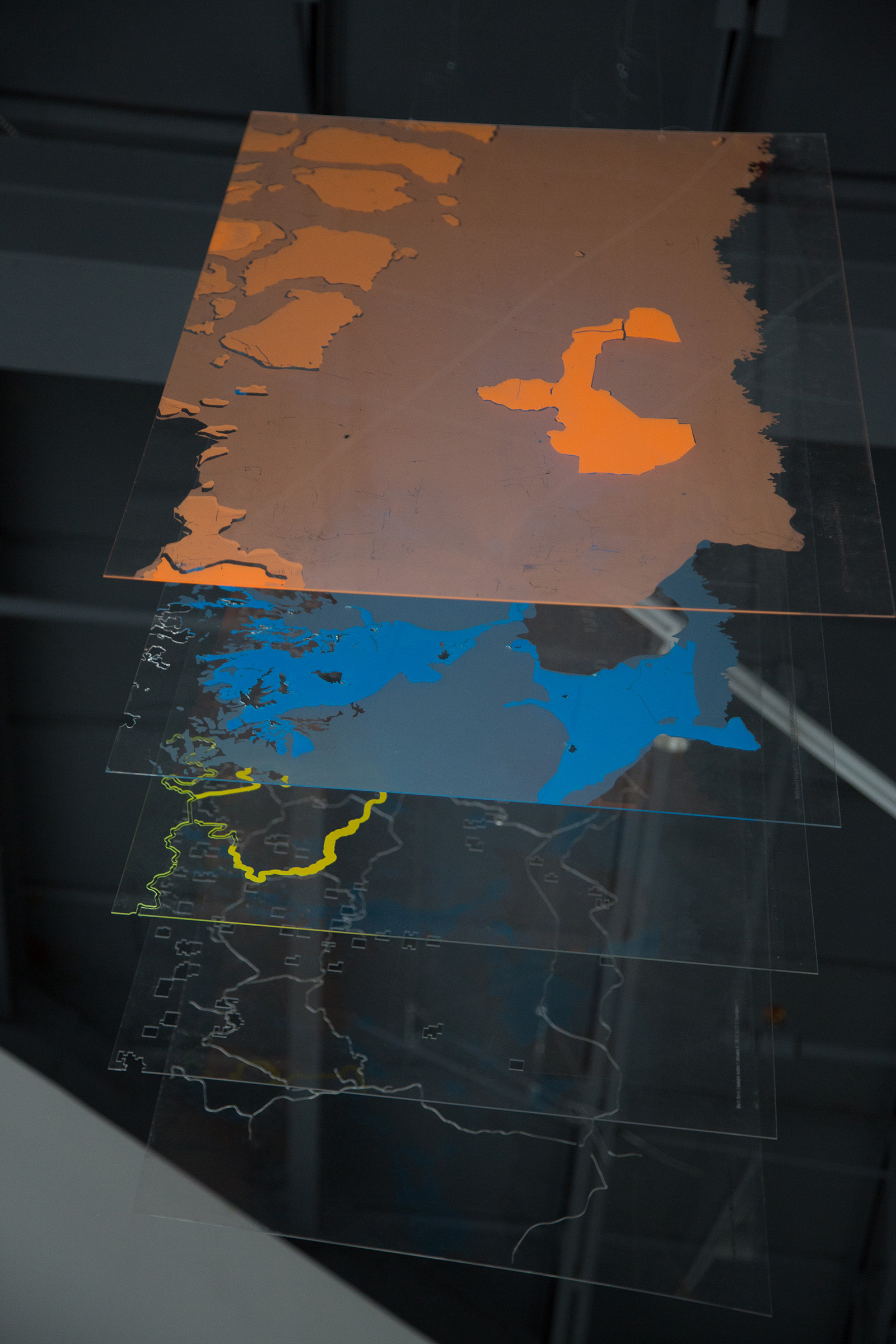
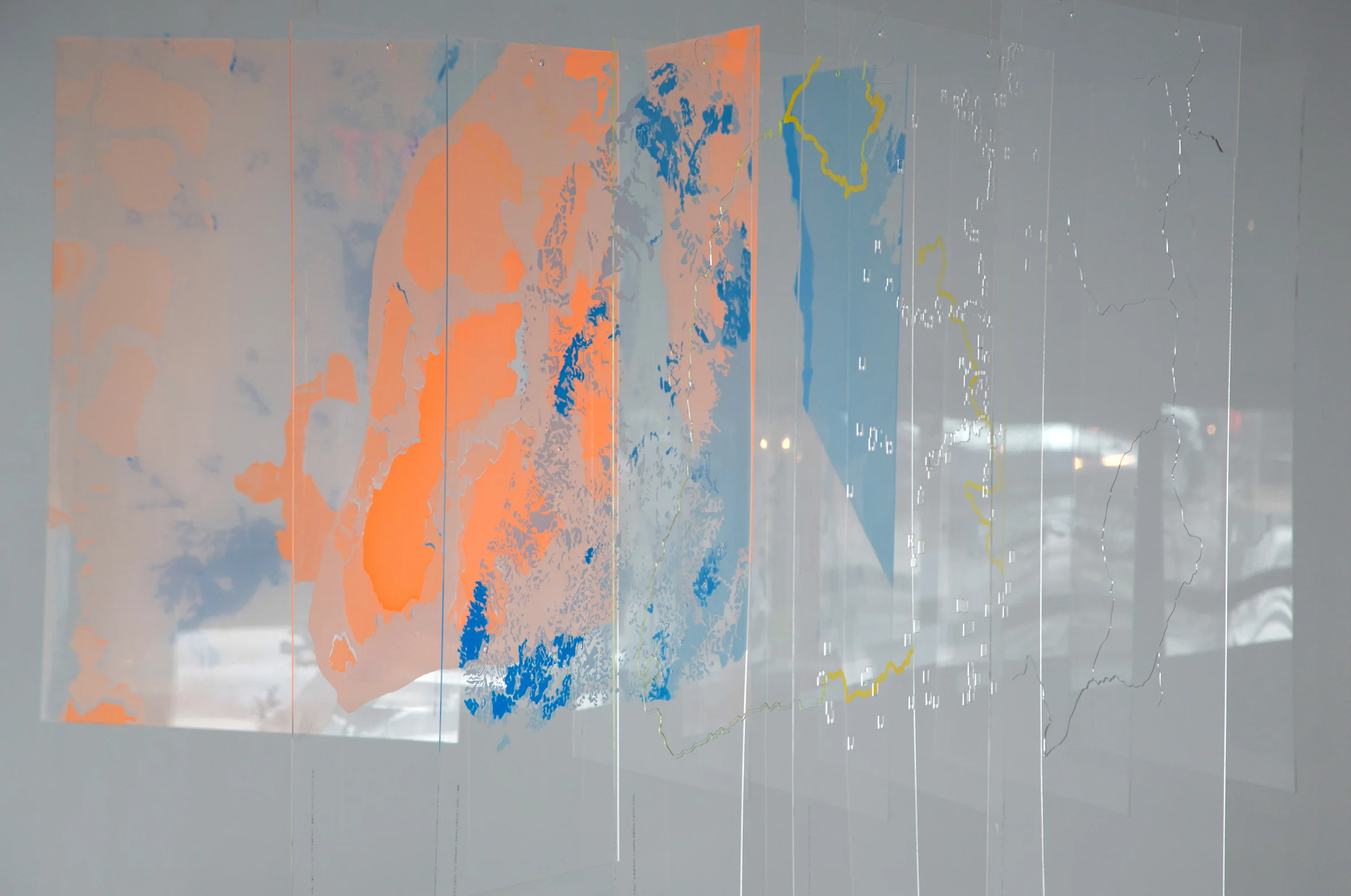
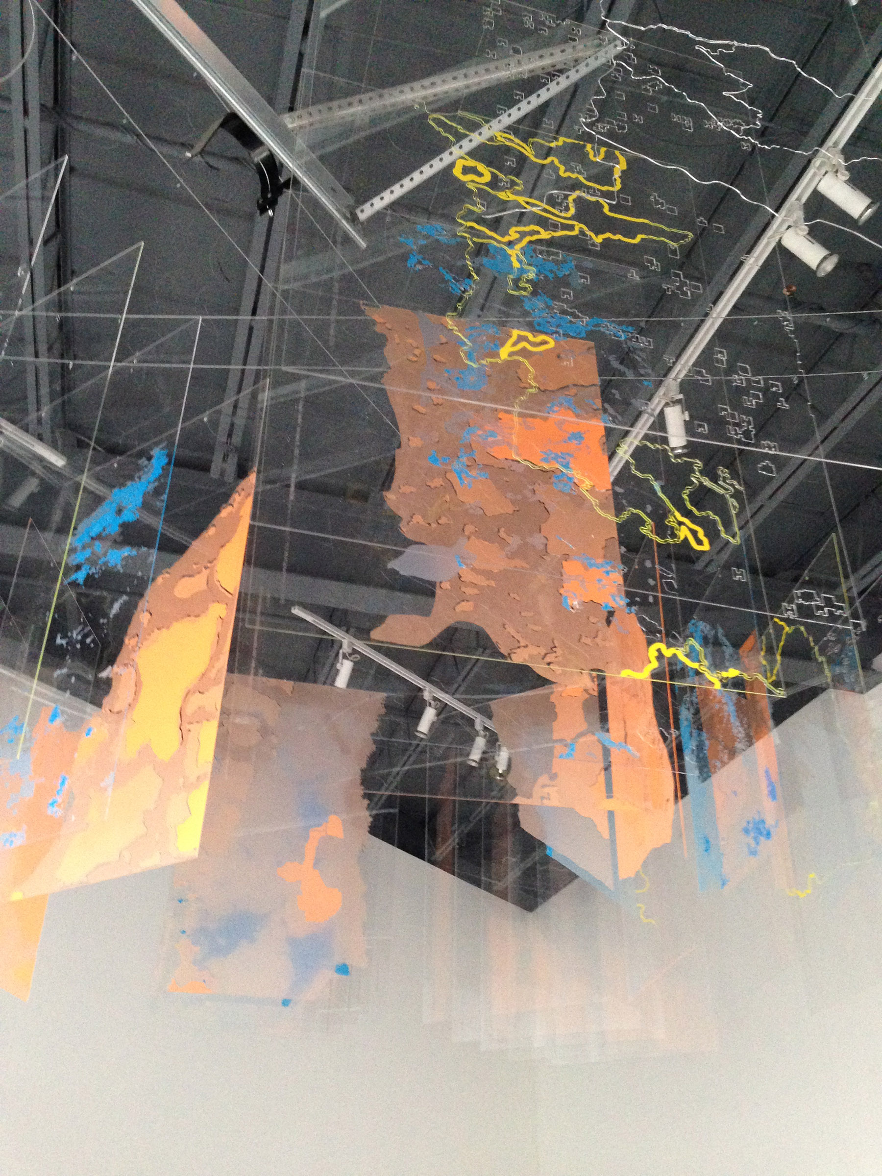
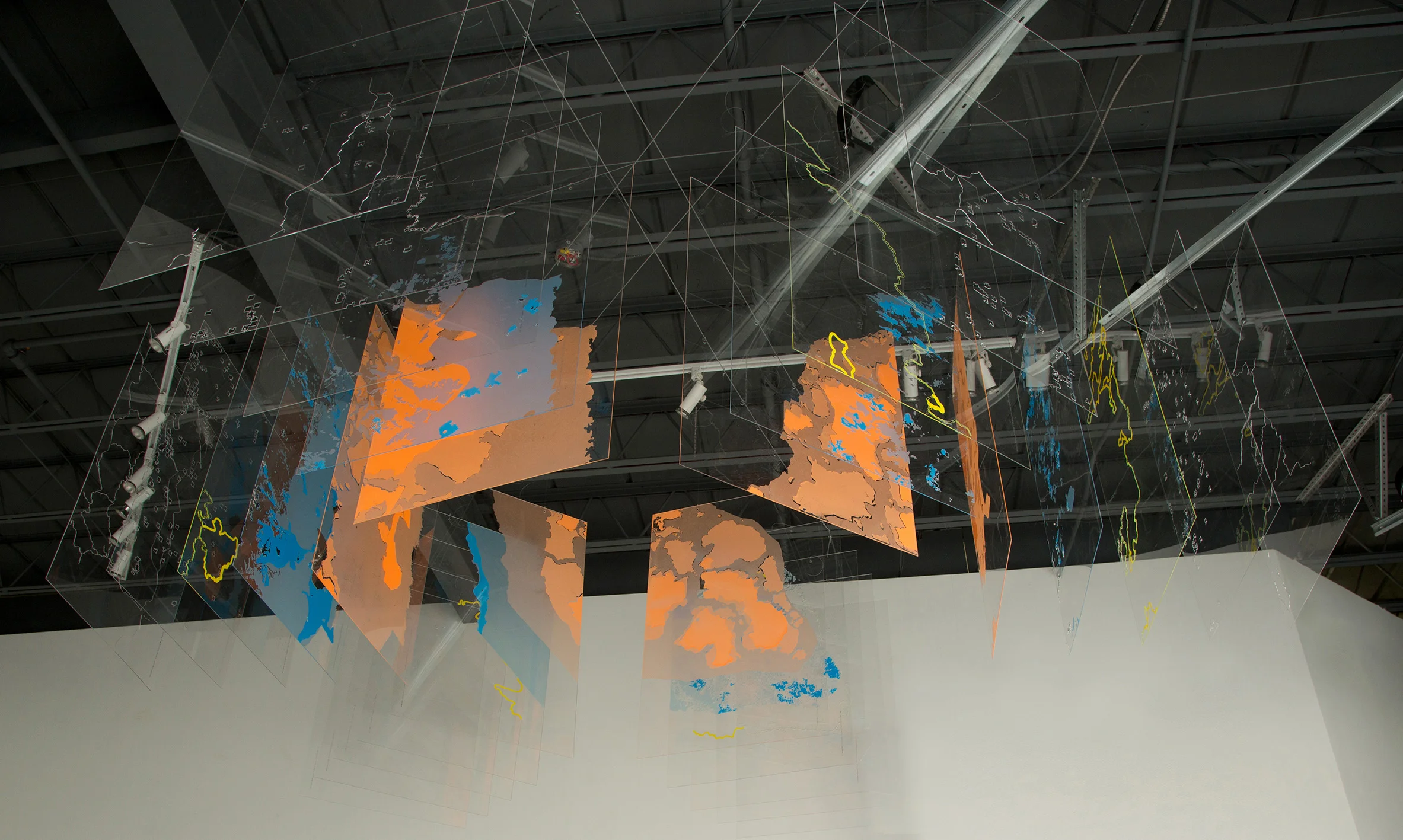
SECTIONING THE WEST BANK
Acrylic, laser cut, screen printing, 24” x 36”
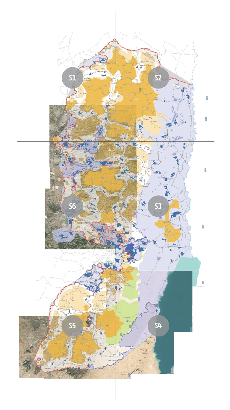
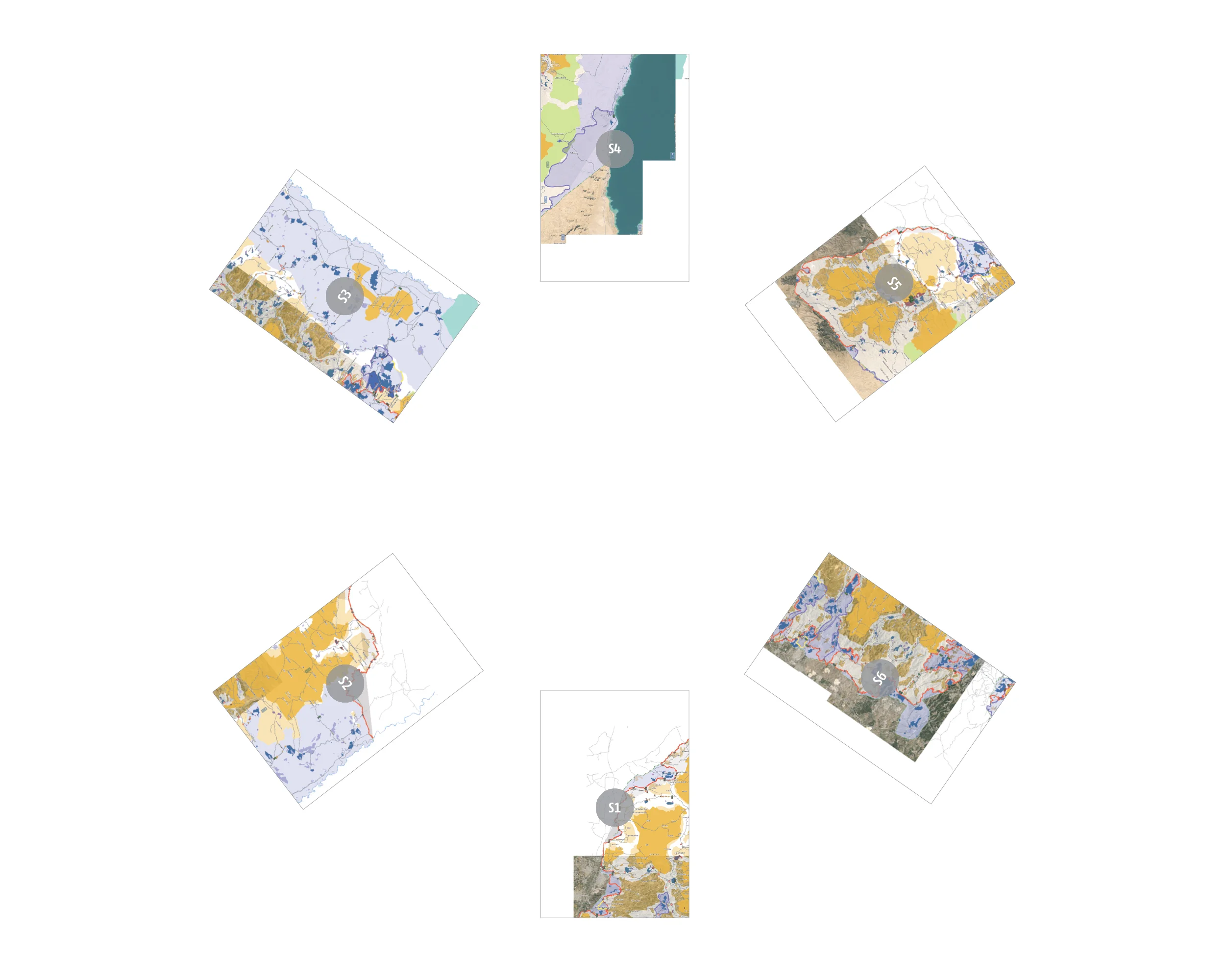
SECTIONING THE WEST BANK consists of 30 representational maps that present the West Bank as a transforming space in a series of multi-layered maps. The maps are the outcomes of performing virtual tours via Google Earth in what I am calling a virtual Sarha. Through these tours, the West Bank is divided into six sections to look at each area up close and make visible the Israeli spatial practices that produce the occupied West Bank. The multi-layered maps offer a way to view the spatial practices in a series of layers by singling out each of the symbolic representation in the legend.
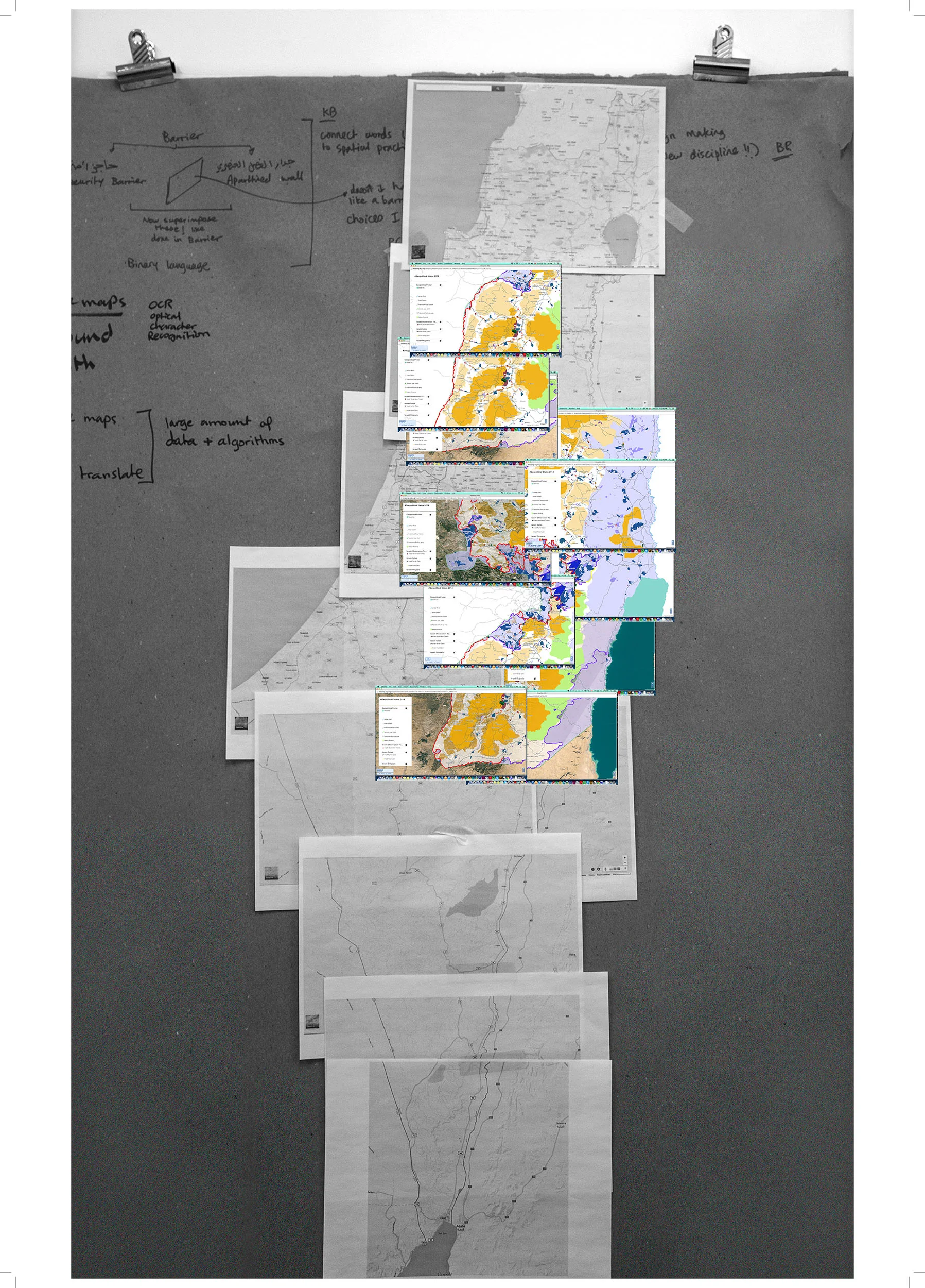
THE WEST BANK
Screenshots through Google Earth
DIRECTION OF SARHA (VIRTUAL TOUR)
The six sections as displayed in the gallery