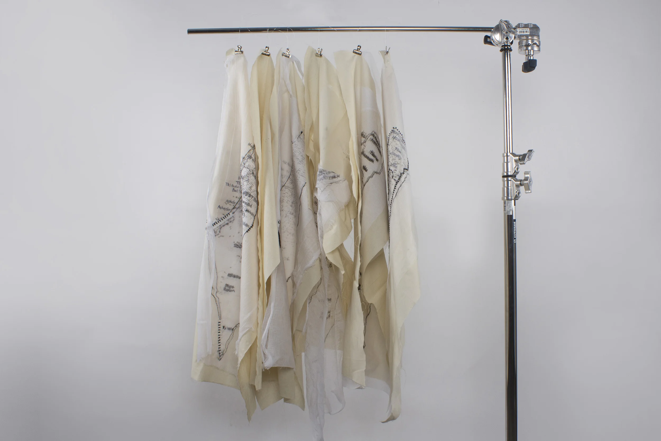
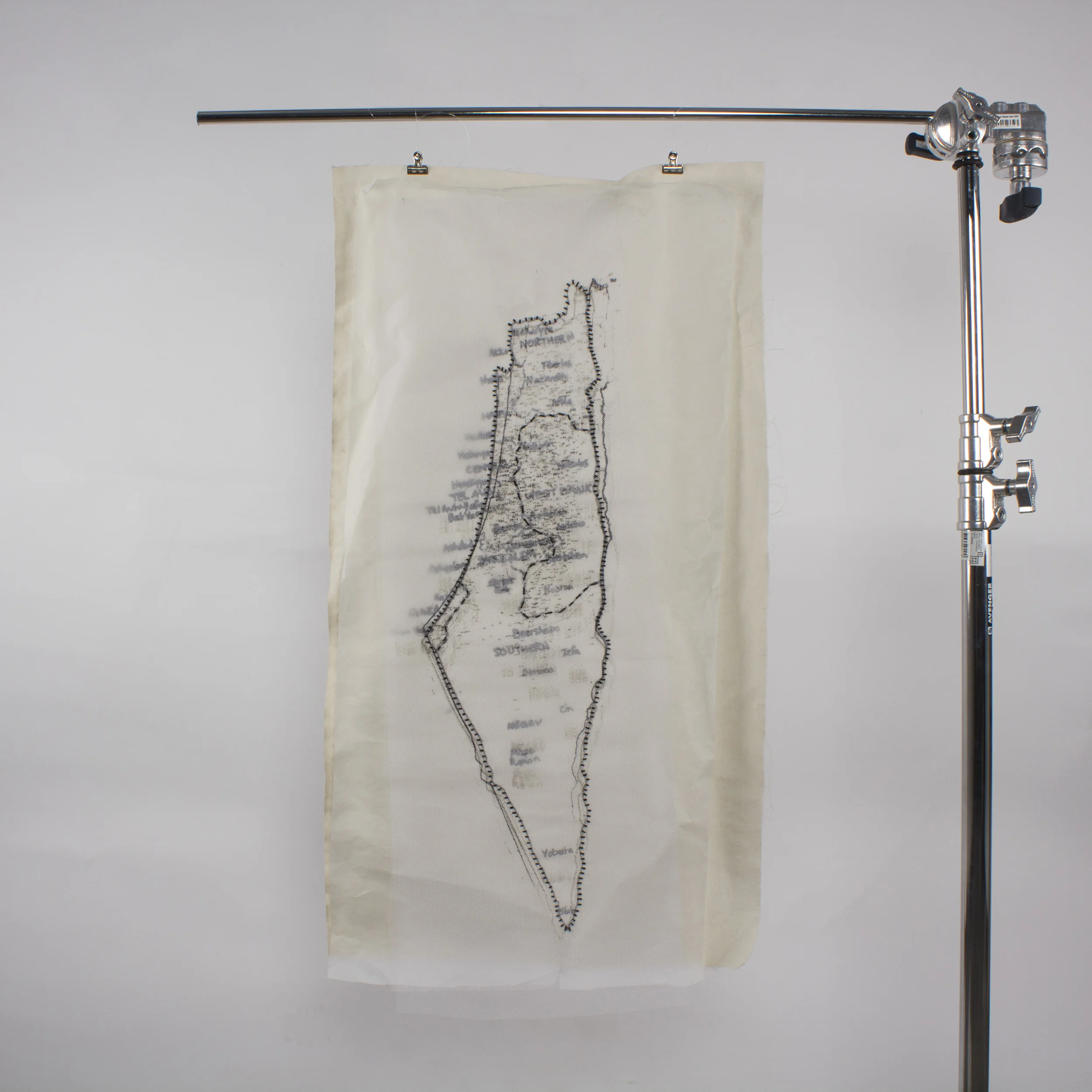
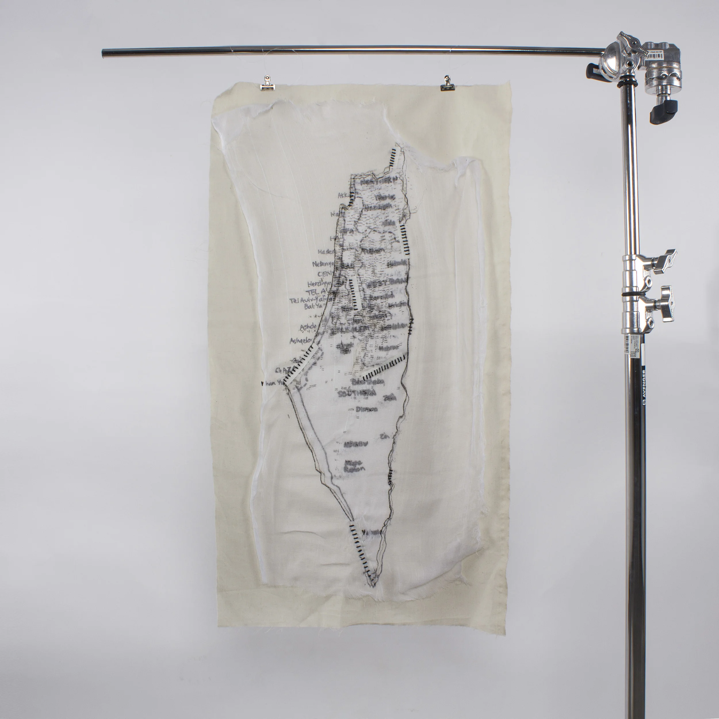
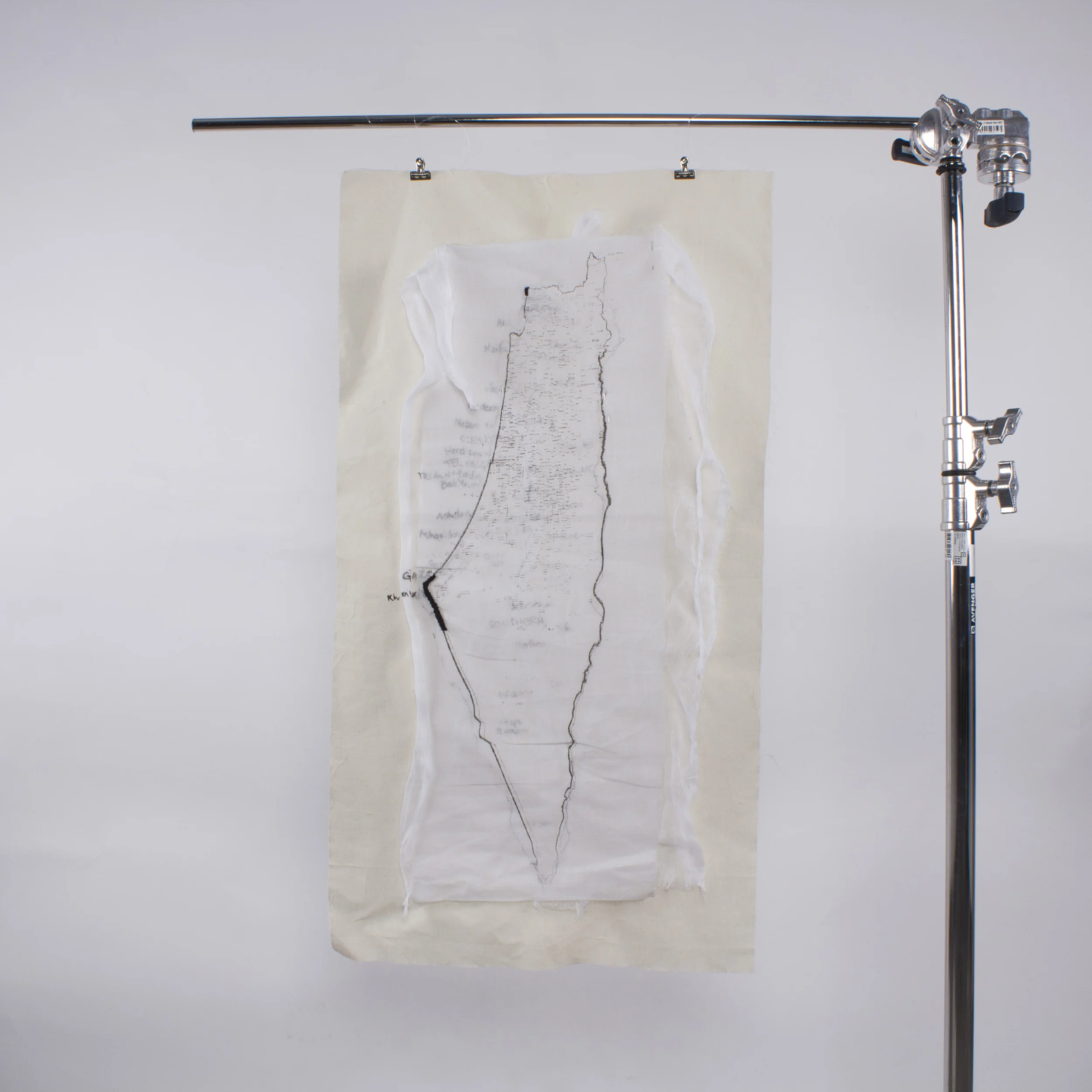
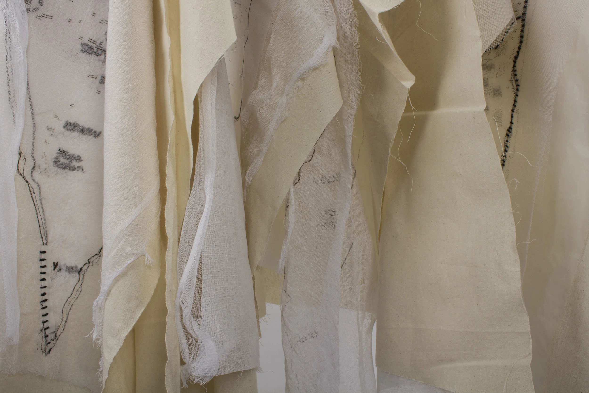
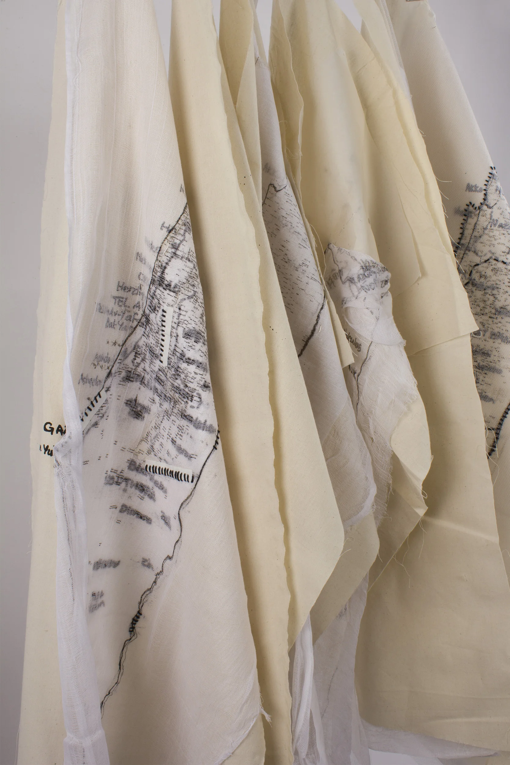
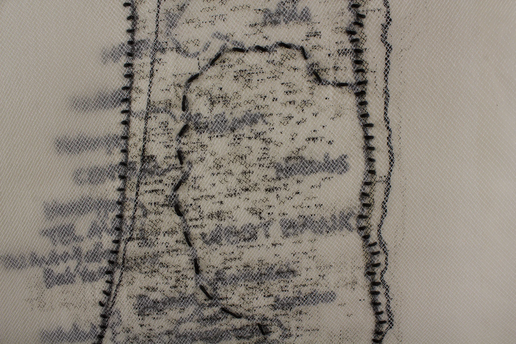
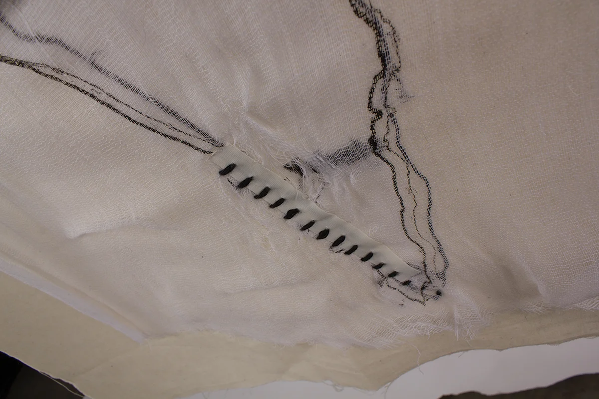
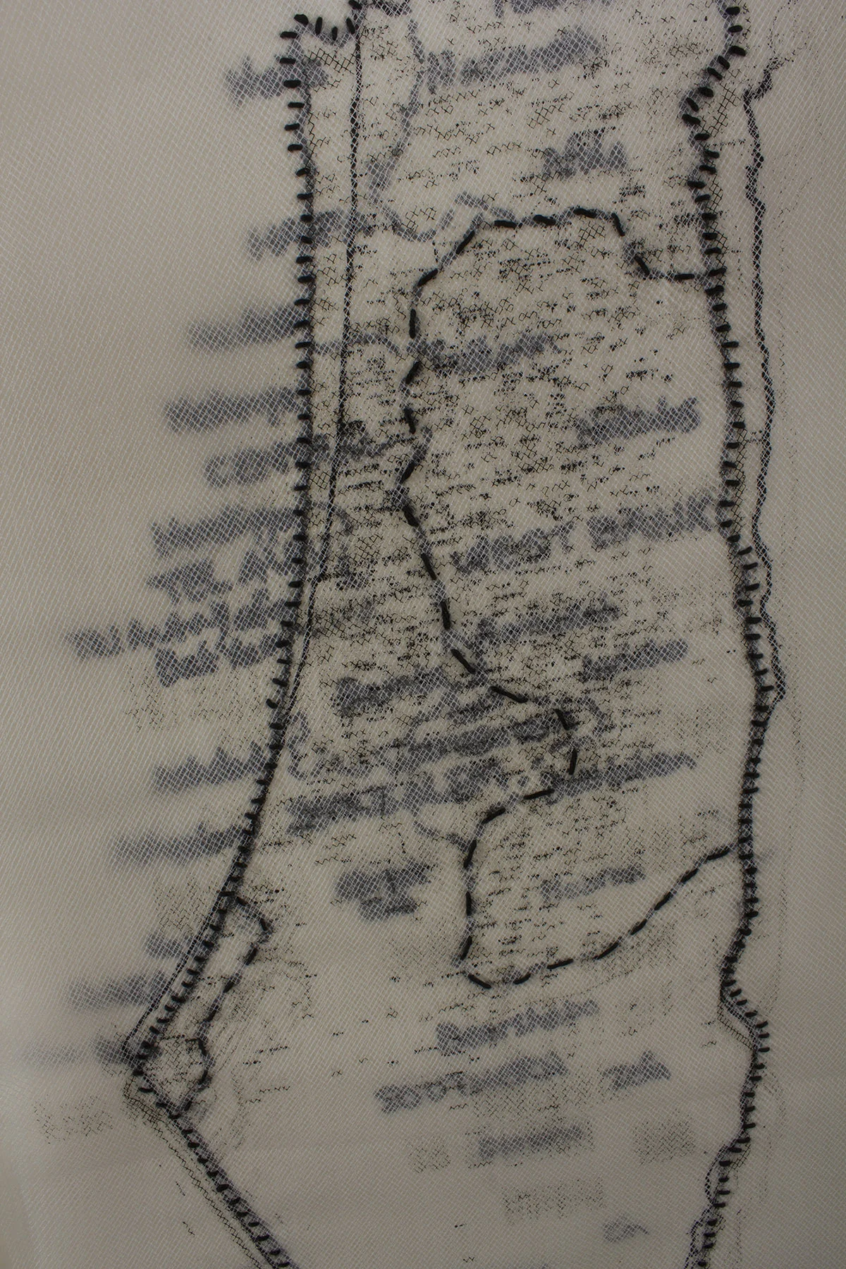
FABRIC MAPS
Stitching on fabric, screen printing, 23" x 40"
The Fabric Maps project is a first attempt - in my map series - to explore the constructed reality of the Israeli/Palestinian situation. As I was unable to find the latest map of the Israeli/Palestinian territories, I am left with the digital archive — Google Earth — as a mapping tool. A highly technological approach that takes maps away from the living experience and allows for manipulation and effacement of the archives. The inability to find a current map of the Israeli/Palestinian territories inspired the creation of maps that are not used to indicate a place, but rather to represent a damaged space and bare witness to an ongoing occupation in the West Bank and above and beneath of the surface of Gaza.